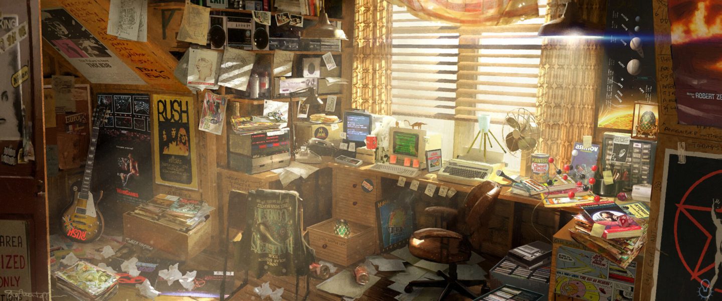
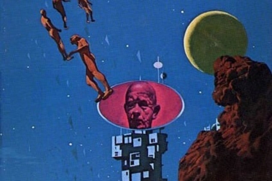
My first go at one of the grand masters of scifi and the beginning of the “Riverworld” series. It was… fine. Certainly the concept is arresting. Someone took the whole population of humanity and reincarnated them into new, young, naked bodies along the course of an endless river. Everyone who ever lived is there, scattered in quasi-random linguistic/temporal groupings. They get food (and booze, and weed) from magic lunchpails someone issued them, and other than bamboo and stone, there’s not much to make stuff with.
I emphasize that last bit because Farmer emphasizes it, a lot. Way more of this book than I would have figured is about the quotidian act of survival in this comparatively-easy-to-survive world. You’d figure given the sheer scope of the setup, Farmer would have jumped to the implications of their situation a little more quickly… but instead we get a lot of speculation about how much you can do with bamboo, rocks, and fish (and human!) parts.
Either way, we get our narrative viewpoint from the newly-reincarnated Richard Francis Burton, the Victorian traveler, linguist (he could supposedly speak twenty or thirty languages or something like that) and writer with many a legendary exploit under his name. Naturally, he takes charge of the surviving-and-organizing business of his little band, that includes the grown-up inspiration for Lewis Carroll’s Alice (for whom Burton obviously gets horny), a Holocaust survivor, an alien, a caveman, some Italians, a know-it-all who provides periodic infodumps on Burton or assorted others, etc.
Burton had had a vision where he met with the organizers of the Riverworld, and is determined to find them again. He and his band make a raft and head upriver. Because this is midcentury scifi, naturally everyone has set to warring with one another, even though (because?) their material needs are basically met. One set of slaver warlords led by Hermann Goering capture Burton and his band. They escape, but it sets up a dynamic wherein Burton and Goering get killed and reincarnated time and again, generally in close proximity to each other. Burton is doing it because he thinks being randomly distributed somewhere on the river is a more efficient means of travel than trying to sail through the rival factions, so he kills himself over and over again, getting newly reincarnated each time. Goering does it because he’s addicted to both heroin and a special “dreamgum” issued in their rations and tries killing himself when he can’t kick successfully, even when he’s otherwise turned a new leaf.
Once it gets going the action is commendably out there, though with enough of that midcentury scifi flavor — the omni-competent ubermensch protagonist, the women and their hangups (Farmer was something of a pioneer in bringing explicit sex into science fiction), the faceless hordes fighting for no reason, etc. — to dampen the originality some. In all, good enough to have a look at the sequels.
Broadway is a major east-west thoroughfare in the city of Vancouver, British Columbia, Canada. In Vancouver’s numbered avenue grid system, it runs in place of a 9th Avenue, between 8th and 10th. The street has six lanes for most of its course. Portions of the street carry the British Columbia Highway 7 designation.
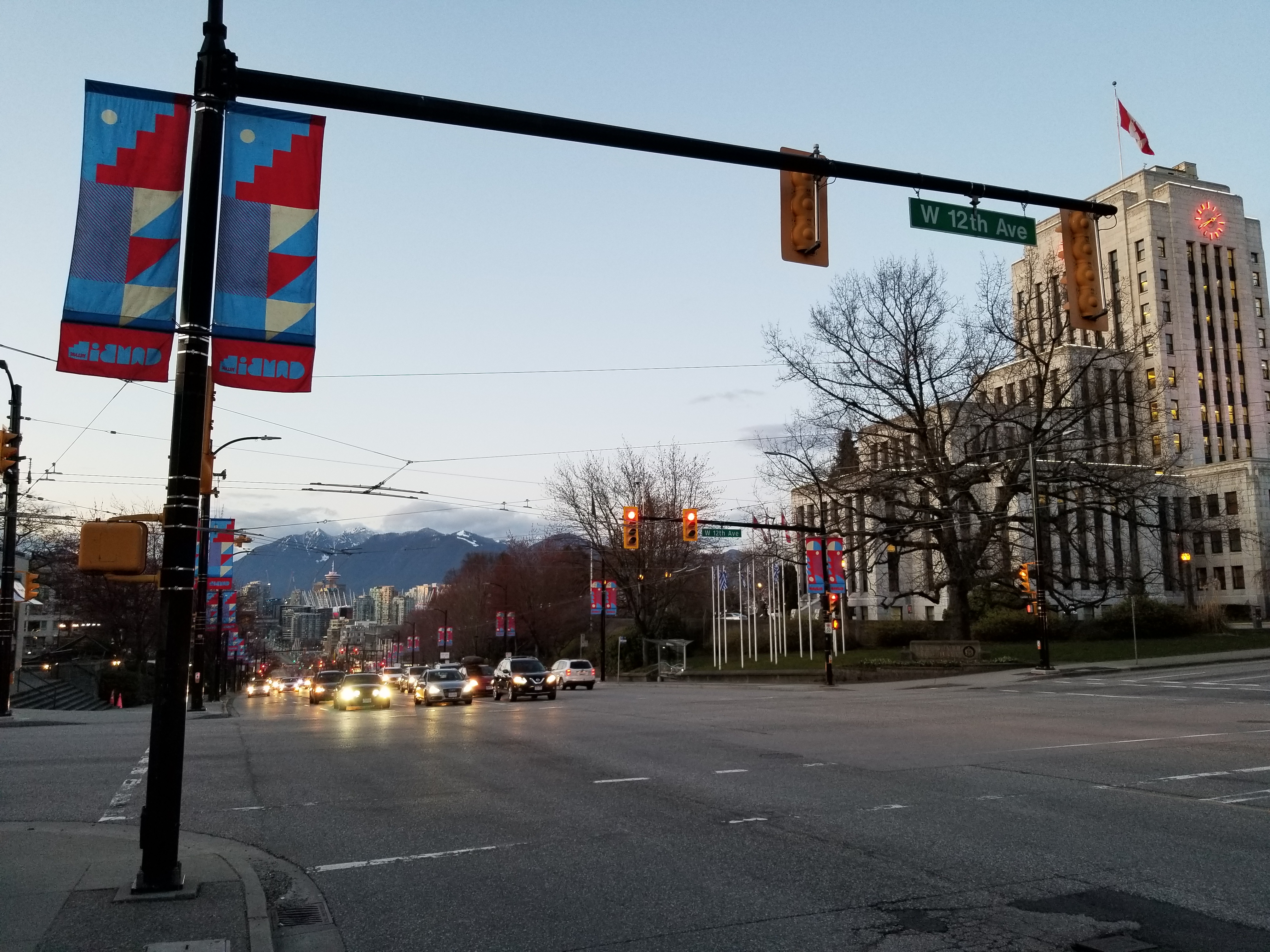
The route begins as “West Broadway” at the intersection of Wallace Crescent and 8th Avenue, in the affluent residential neighbourhood of West Point Grey, a few kilometres east of the University of British Columbia (UBC). Past Alma Street, Broadway takes over from 10th Avenue as one of Vancouver’s major thoroughfares, as it enters Greek West Broadway (or Greektown) section of Vancouver’s Kitsilano district. East of here are several blocks of generally trendy, upscale shops interspersed with low-rise apartment blocks and small supermarkets. The surrounding neighbourhoods generally consist of large, older homes dating from the early twentieth century, many of which have been subdivided into rental suites.
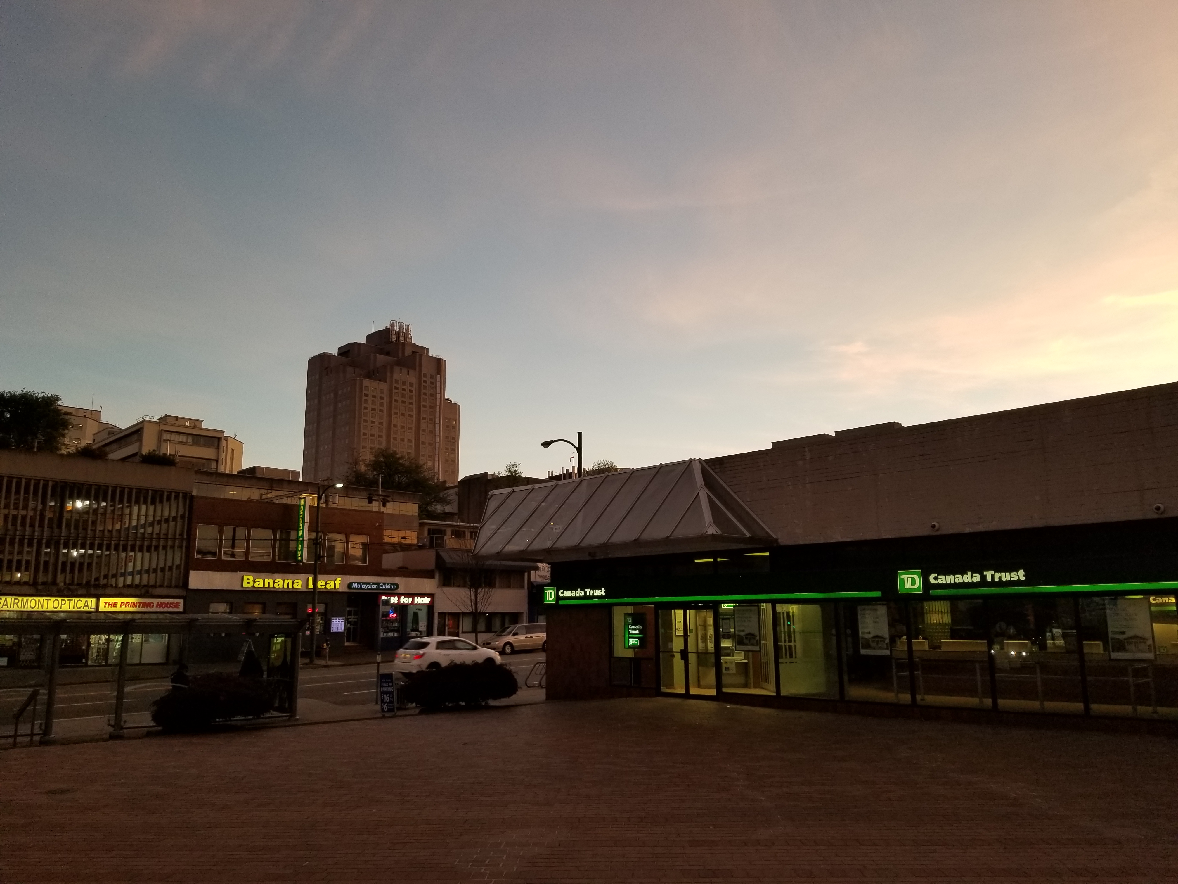
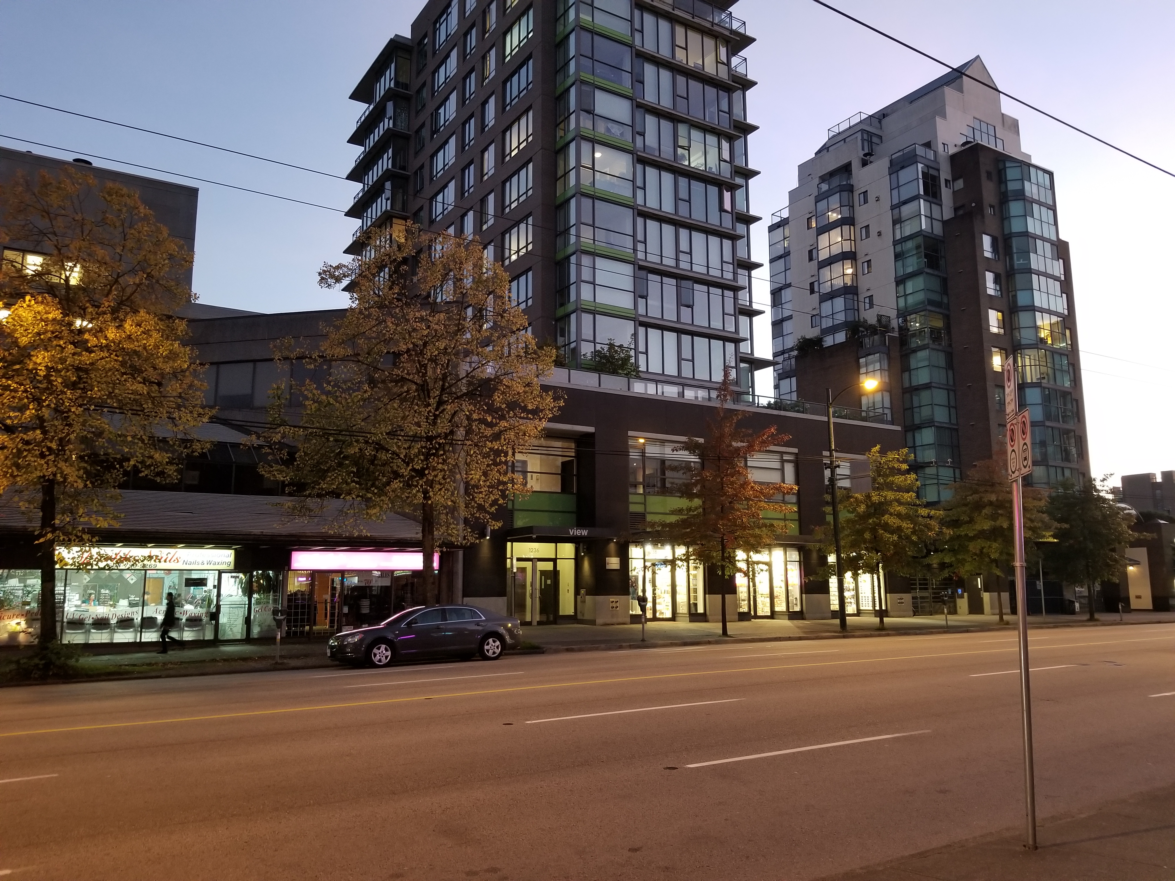
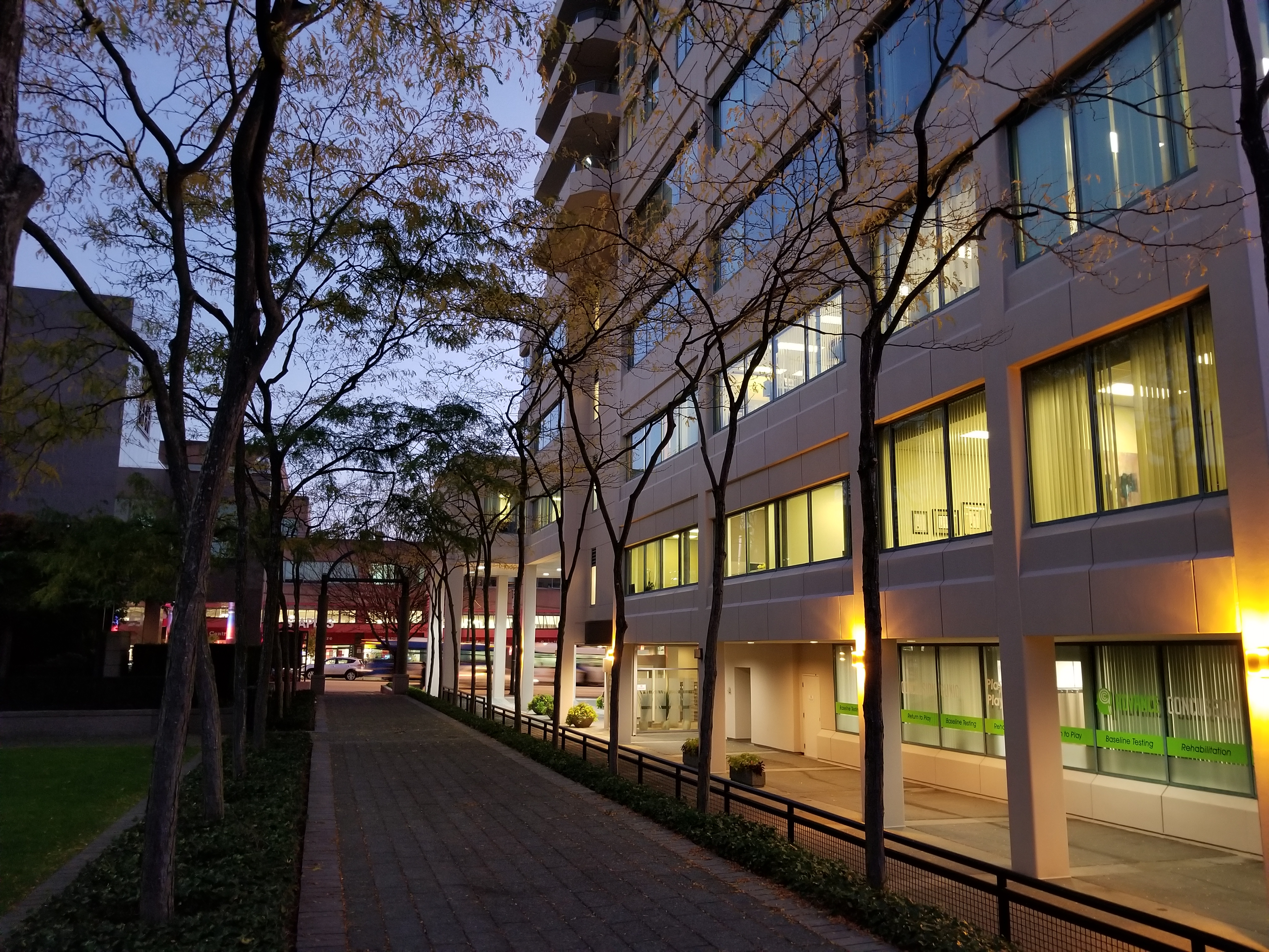
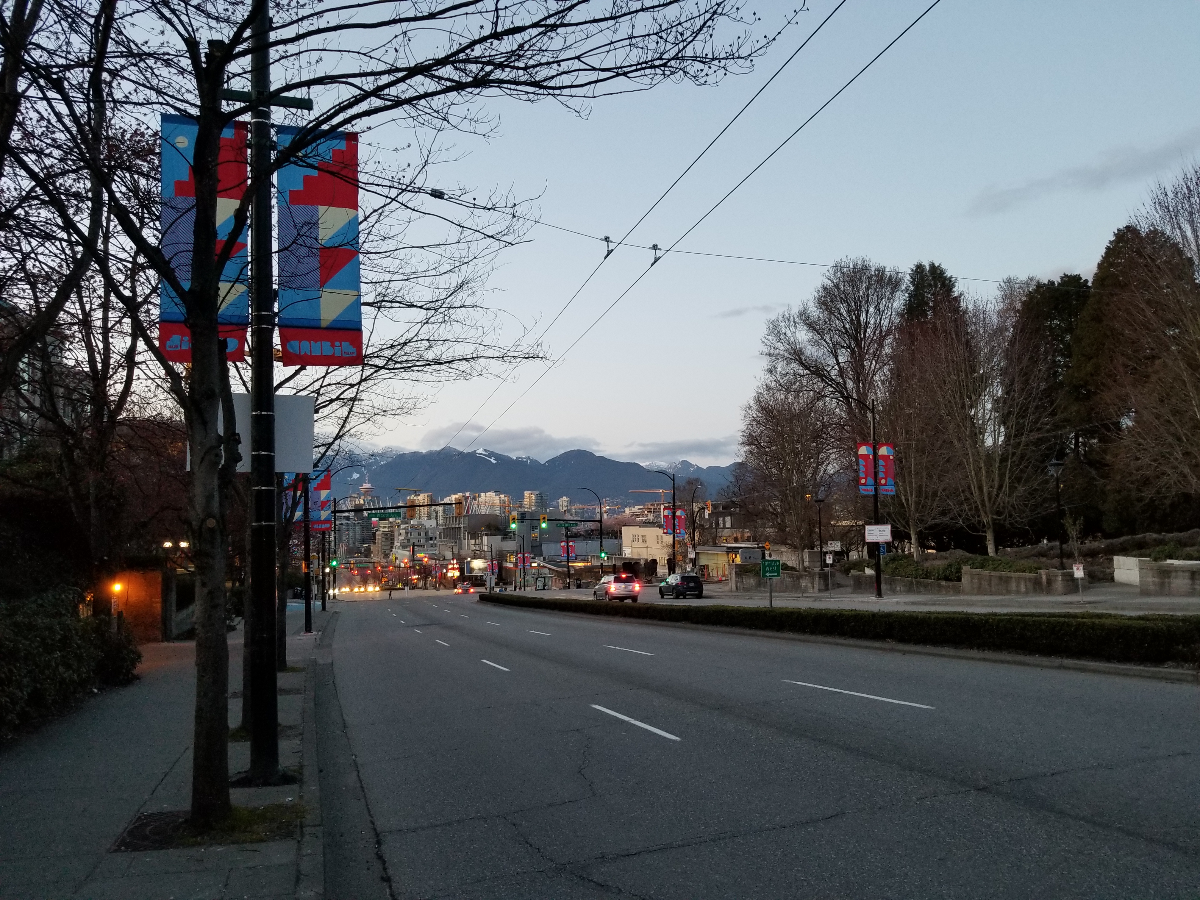
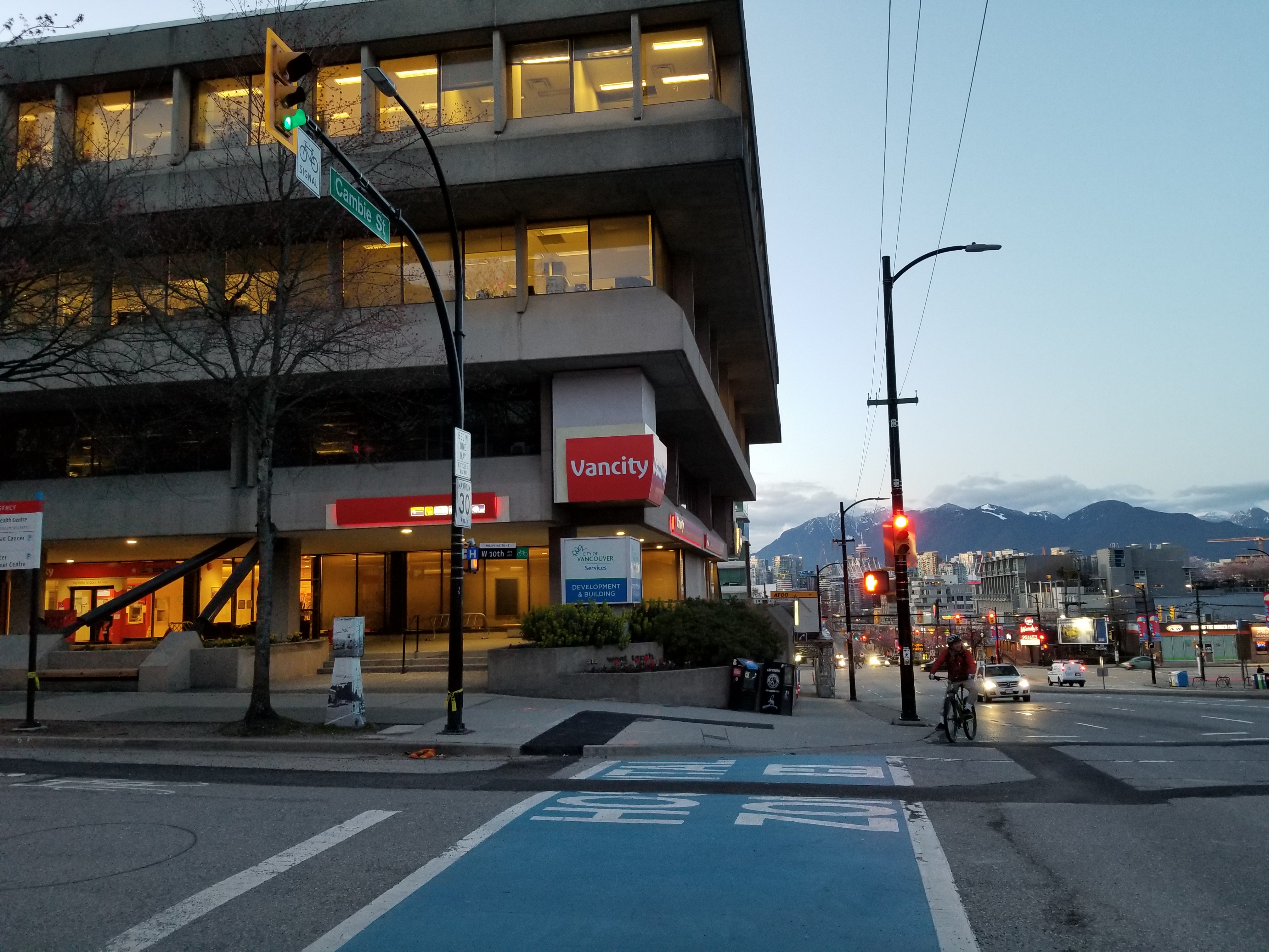
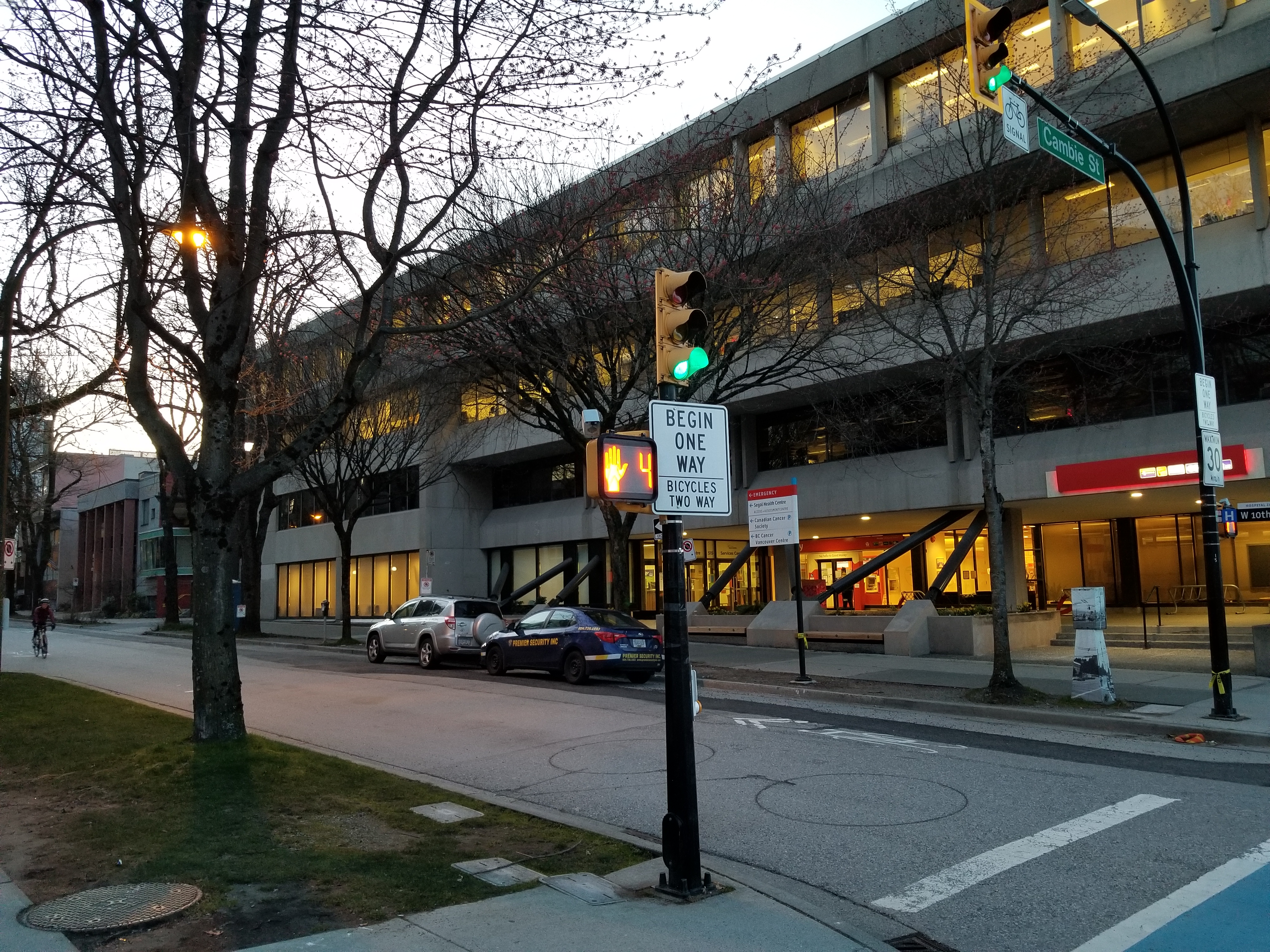
As Broadway approaches Arbutus Street, the commercial establishments become larger before transitioning into a mix of small to mid-size apartment blocks. East of Burrard Street, the apartment blocks get progressively taller, and commercial establishments larger and busier. Between Burrard and Main Street, Broadway can be considerably congested by vehicular traffic. Past Granville Street, Broadway yields completely to medium-to-large commercial structures and high-rise apartments and condominiums. Between Cambie and Main, the commercial establishments become smaller and somewhat more downscale.
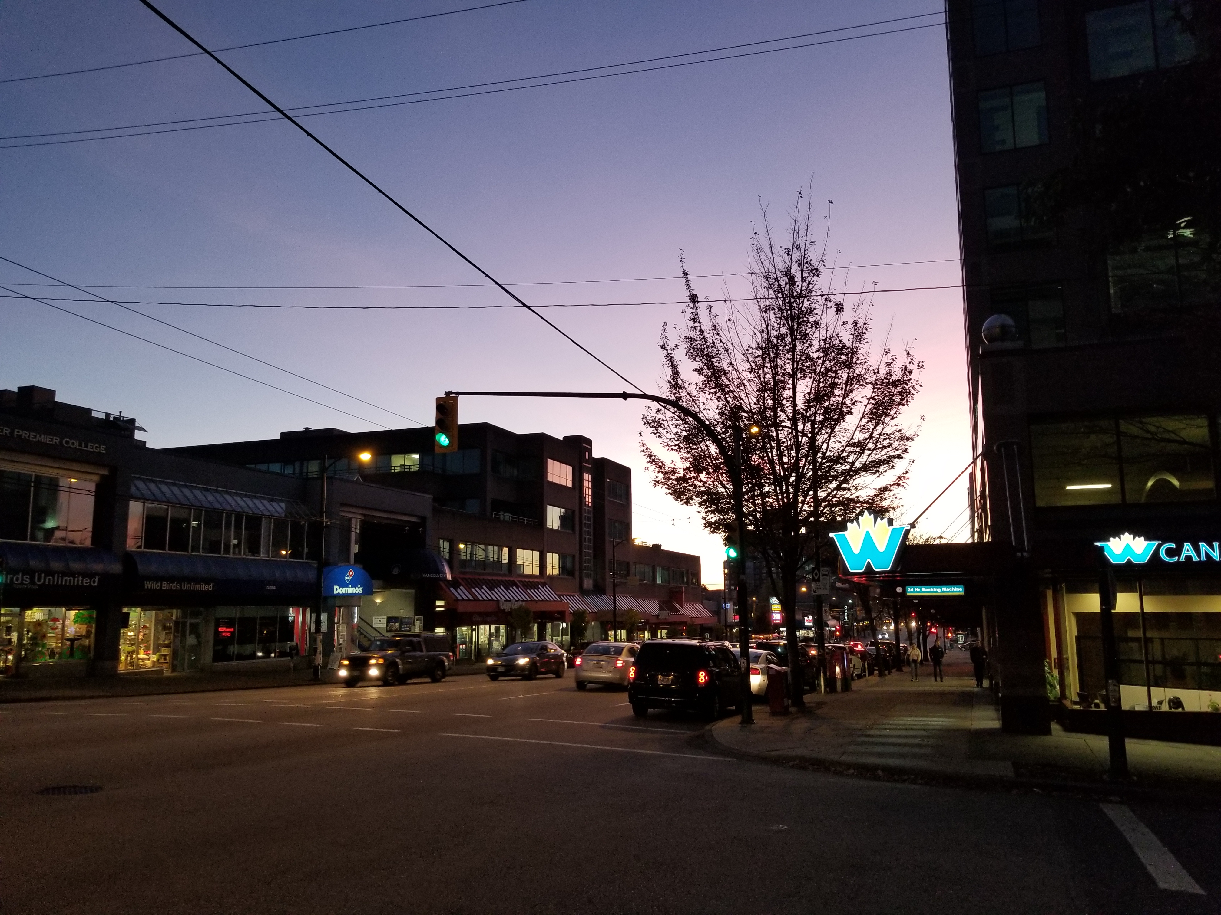
At Ontario Street, two blocks west of Main, the route becomes “East Broadway.” After bisecting Main and Kingsway, traffic on Broadway eases somewhat, and the character returns to a mix of small-to-medium apartment buildings and commercial establishments, interspersed with older homes – all considerably less affluent than those to the west. At Commercial Drive, Broadway passes by the Commercial–Broadway SkyTrain Station. Past here for several blocks, the neighbourhood consists predominantly of older residential homes.
As Broadway travels east of Renfrew Street, the neighbourhood once again becomes mixed, with older homes to the north and larger industrial, commercial, and warehouse establishments to the south. Broadway finally ends at Cassiar Street, just short of the Vancouver-Burnaby boundary, where it becomes the Lougheed Highway.
Broadway was created at the turn of the 20th century, along with other gridded roads south of False Creek, to meet the needs of an expanding population in Vancouver. The name of the route was changed from 9th Avenue to Broadway in 1909, at the behest of merchants around Main Street (at that time the hub of Vancouver commerce), who felt that it bestowed a more cosmopolitan air. Commercial establishments originally spread out around the intersections of Cambie and Main Streets, while the character of the rest of the route remained predominantly single-family dwellings.
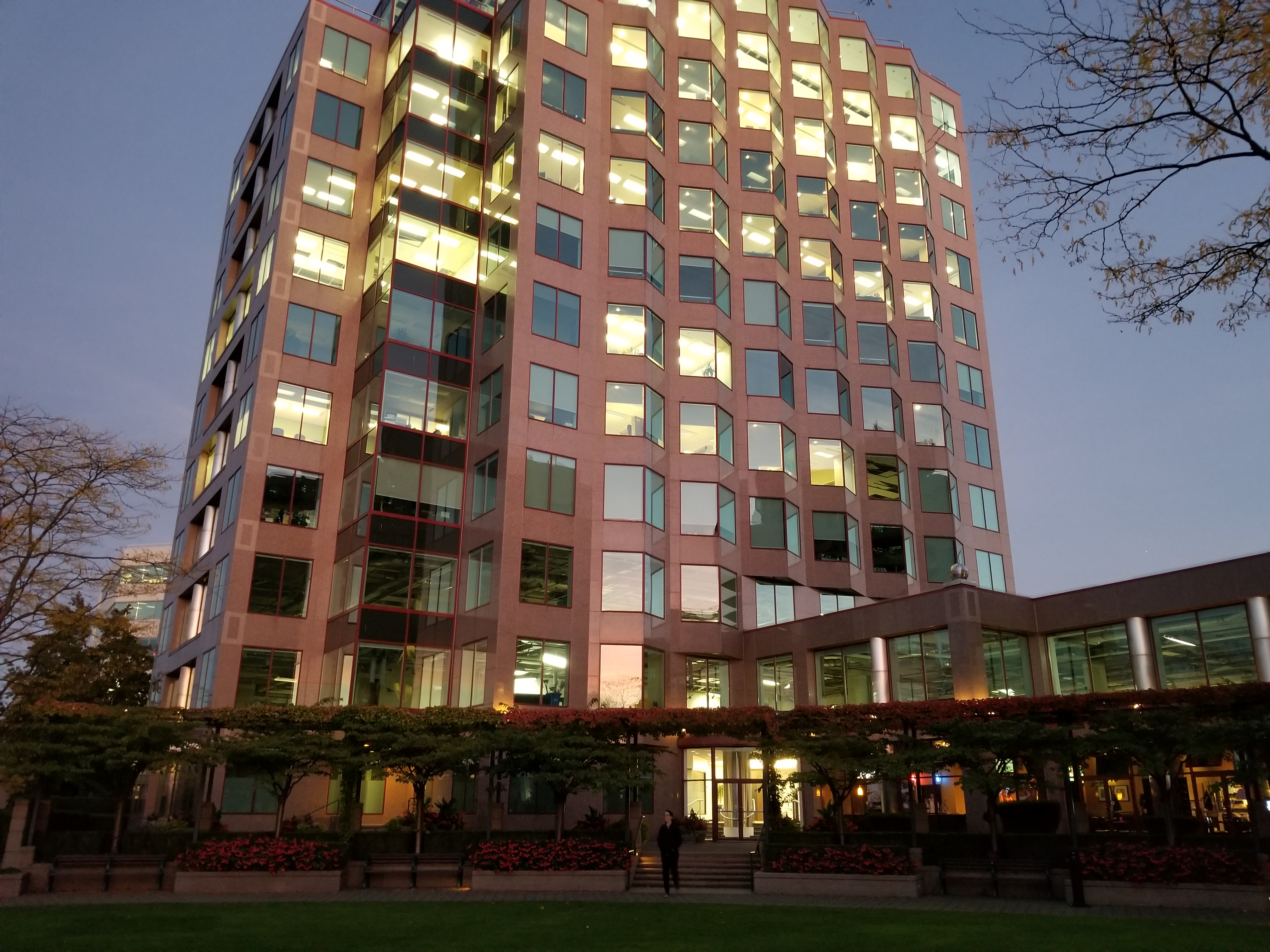
By the 1970s, the length of Broadway had become a major arterial route in Vancouver, conveying commuters from downtown to the neighbourhoods of the west and east sides. With the growth of UBC and the expansion of the Vancouver General Hospital (one block south of Broadway between approximately Oak and Cambie), traffic demands accelerated. In the 1990s, the agency then responsible for public transit in Greater Vancouver — BC Transit — introduced an express bus route, the 99 B-Line, to help reduce congestion. The Vancouver transportation plan for Broadway notes that congestion is such that the bus service is at capacity, and will not be eased until a new rapid transit line is built paralleling the street. It is anticipated that the SkyTrain’s Millennium Line will be extended to Central Broadway by 2021; the extension is expected to connect with Canada Line at Broadway-City Hall Station, at the intersection of Broadway and Cambie Street.
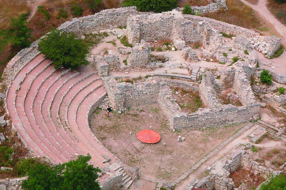
The site features the remains of a city founded by Dorian Greeks in the 5th century BC on the northern shores of the Black Sea. It encompasses six component sites with urban remains and agricultural lands divided into several hundreds of chora, rectangular plots of equal size. The plots supported vineyards whose production was exported by the city which thrived until the 15th century. The site features several public building complexes and residential neighbourhoods, as well as early Christian monuments alongside remains from Stone and Bronze Age settlements; Roman and medieval tower fortifications and water supply systems; and exceptionally well-preserved examples of vineyard planting and dividing walls. In the 3rd century AD, the site was known as the most productive wine centre of the Black Sea and remained a hub of exchange between the Greek, Roman and Byzantine Empires and populations north of the Black Sea. It is an outstanding example of democratic land organization linked to an ancient polis, reflecting the city’s social organization.
Brief synthesis
Tauric Chersonese and its chora are the remains of an ancient city, founded in the 5th century BCE as a colonial settlement of the Dorian Greeks, located on the Heraclean Peninsula in south-west Crimea. The polis and extended chora of Tauric Chersonese form an outstanding example of an ancient cultural landscape, consisting of a Greek polis and its agricultural hinterland established as part of colonist activities in the 4th and 3rd century BCE. The significant archaeological ruins of the city retain physical remains constructed between the 5th century BCE and the 13th century AD laid out on an orthogonal grid system. The basic orientation of this orthogonal grid continues into the wider landscape where fragments of a vast land demarcation system of 400 equal allotments in an area of 10,000 hectares have been preserved.
The Ancient City of Tauric Chersonese and its chora is an exceptional example of a peripheral centre of movement of people which acted as an important gateway to the north-eastern parts of the Greek trade influence, including the Crimea and the Scythian state. The city maintained its strategic role over almost two millennia and provides a unique example for the continuity and longevity of a mercantile outpost connecting the different Black Sea trade routes.
Criterion (ii): Tauric Chersonese provides an outstanding physical testimony to the exchange that took place between the Greek, Roman and Byzantine Empires and the populations north of the Black Sea. The polis and its chora stand out for having retained this role as a centre of exchange of influences and cross-fertilization between these cultures for a very long time and with continuity over millennia.
Criterion (v): Tauric Chersonese and its Chora represents a relict agricultural landscape of a vast and, at locations, well-preserved land allotment system, of formerly over 400 equal allotments connected to a preserved polis. The remains of the division walls, fortifications, farmsteads and the characteristic grid layout embodied the lifestyles of the city’s inhabitants and illustrate the agricultural use and continuity of the landscape despite later changes in production.
Integrity
The six property components include the complete ancient polis of Tauric Chersonese as well as fragments of its chora. About half of the chora has been lost due to urban development and yet, only small parts of what remains have been inscribed. This selection provides a sufficient fragment of the chora landscape, but a future expansion of the property to include further chora segments would be desirable and would further strengthen the integrity of the property.
The impact of urban development on the chora setting is significant and the integrity of the wider landscape is fragile and requires decisive and consistent protection and planning mechanisms to prevent further negative impacts by insensitive urban or infrastructure developments. Likewise, the city of Tauric Chersonese has experienced significant developments of intrusive character, some of which have been committed to be relocated.
Authenticity
The condition of authenticity in material, design and substance is good for the archaeological remains of the polis and the chora. About 10 of the 40 hectares of the site of Tauric Chersonese have been excavated leading to a good understanding of the history and development of the town. Less excavations have taken place in the chora but its structure and layout is nevertheless well understood. No major restoration or conservation projects were carried out with the exception of a few cases of anastylosis. This has retained high degrees of authenticity in material and substance. Authenticity in form and design is well retained in its relations to the urban layout and chora plot division.
The authenticity in setting and location is partly affected, predominantly by the 20th century constructions which destroyed parts of the ancient city but also by urban encroachments and infrastructure projects close to the chora sites. Their impact could be reduced to the extent possible by removing the yacht club and associated structures from its present location and better integrating the cathedral within the archaeological site.
Management and protection requirements
The property enjoys the highest level of national protection according to the Law of Ukraine on Cultural Heritage Protection (No. 2518-VI of 9 September 2010). This status prohibits any activities within the boundaries that may have any negative impact on the state of preservation, or use of any cultural heritage sites and designated monuments. A recently launched project entitled “Boundaries and land use regimes for the protected areas of the monuments of the Tauric Chersonese National Preserve located on the territory of the Heraclean Peninsula in the City of Sevastopol” aims at integrating a more sophisticated zoning and protection concept in the Master Development Plan, which would strengthen the protection status of the extended chora landscape. The official adoption of the draft plan should be given priority.
The authority responsible for the property is the Tauric Chersonese National Preserve which was mandated as the management agency by the Ministry of Culture. Key protection challenges of the property are erosion, in particular shore erosion, the establishment of adequate security measures on all site components and urban development. Urban development has in the past been and will continue to be a key risk as the city of Sevastopol is located at very close distance to the archaeological sites and continues to grow. Inappropriate urban expansions will negatively impact the already fragile integrity of the archaeological landscape. Important works are underway to integrate the archaeological landscape into the wider land-use and protection system. These have to be finalized to cover a wider area beyond the presently designated protected areas and landscape protection zones. Future inclusion of these features through boundary extensions of the property would ensure that the relict landscape of the Chersonese chora could be protected in its larger context.
A revised management plan which is to be finalized in mid 2013 should be officially adopted and management priority should be given to conservation needs. In view of the critical state of conservation of the ruins in the city of Tauric Chersonese, some of which are highly dilapidated or even close to collapse, budgetary resources need to be increased to respond to the urgent conservation and security challenges. Clear budgetary priority needs to be given to conservation and visitor security rather than interpretation and other tourism projects.